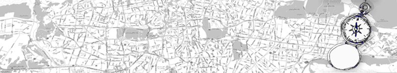
Geomatics > Customers
Govt. Of Rwanda, Rwanda, Africa
Natural Resources & Mineral Targeting using various sensors & geological studies & analysis
Download PDF to Read More.
National Highway Authority Of India Ltd, India
To create a GIS based Road Management Information System using modern techniques of Remote Sensing, Satellite Imagery and GPS based surveys for
NH2 – Project Management & work progress Monitoring
NH8 – Road Maintenance and Asset Information
Download PDF to Read More.
Indraprastha Gas Limited, India
To create a GIS based land Information System using modern techniques of Remote Sensing, Satellite Imagery and GPS based surveys for New Delhi.
Download PDF to Read More.
Purvanchal Vidyut Vitran Nigam
Ltd.(PVVNL), Muzzafarnagar Circle
To create a GIS based Network Information Management System (NIMS) using modern techniques of Remote Sensing, Satellite Imagery, GPS based surveys and Consumer Indexing for Muzzafarnagar town.
Download PDF to Read More.
2*500 MW Thermal Power Stations
GIS & Remote Sensing based Decision Support System for Site Suitability & Evaluation,
Develop 25 km. Radius Maps,
Latest Base Maps – Updated Infrastructure
Land Use & Land Cover Map, Vegetation and Soil Map
Download PDF to Read More.
Maharashtra State Electricity Board (MSEB), INDIA
GIS Based Electrical Distribution Network Management System for
Assessment of actual Power Losses and reduction,
Improvement in Voltage Regulation & Power Factor,
Asset Management &Quicker Maintenance
Download PDF to Read More.