Geomatics > Services > Digital Photogrammetry (DP)
Adroitec’s Digital Photogrammetric Services can be used for
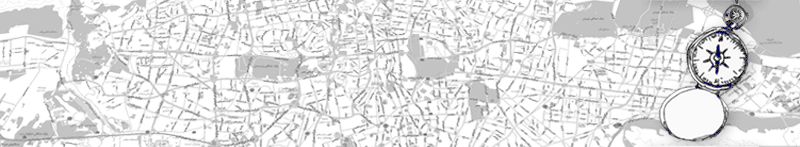
 infrastructure mapping
large and small scale mapping
ortho-rectified image mapping and
3-Dimensional modelling
Digital Terrain Modelling (DTM/DEM)
Adroitec provides TURN KEY SOLUTIONS on Softcopy Photogrammetry for varied user base with range of applications like
Large scale Topographic mapping
3D City Mapping for Utility Survey/ FM
Design of transport network (rail/roads)
Large scale engineering mapping
Resource mapping
Mission Planning
Disaster Management (Flood Inundation, Cyclone Inundation, Landslides etc.)
Change detection in Landuse and landcover
Feature validation
Feature extractions (GIS ready database)
DTM based Route Surveys
Orthophoto Maps with Planimetric accuracy of submeter
Competency Areas
MULTISENSOR data input and Image output capability (LANDSAT, SPOT, JERS,
 IRS, RADARSAT, ERS-1-SAR, SIR-C, CIB, CADRG)
Scanned (Digital) Aerial Photographs as Input resource for DP
Feature collection and editing with range of cartographic tools
Automated and Semi-automated feature extraction
Collection, editing and display of DTM’s
Multiple Feature coding
Annotated Images/ Triangulated Images
Feature files/ CAD files (with attributes)
Perspective scenes
FLY Throughs!
Feature Validation & Editing
Editing of ground eatures in Socet-Set
Validation of features for ground accuracy
Editing elevation data (contours, spot heights)
Digital Terrain Modelling
3 D View of Terrain/line of sight/volume calculation/profiling
Terrain Evaluation
Geotechnical Aspects
Highway Route Alignments / Oil & Gas Pipelines/ Electricity Lines
Mining Excavation Plans
VR 3D Flythrough
Deliverables
Softcopy media (DVD, CD, Internet)
Hardcopy outputs in User desired formats